You can only drive up to the Covadonga Lakes when there are no restrictions. The rest of the time, which in 2026 meant almost all of summer and a good part of spring and autumn, you have to leave your car in Cangas de Onís and take the bus. We went on a Monday in October, the 19th, and we got lucky: it was the very first day without restrictions after four and a half months with the road closed to private cars.
We already mentioned the Lakes briefly in our 6-day road trip through Asturias, but it didn't do them justice. It's one of those visits that seem simple (you drive up, see two lakes, drive back down) but turn out to be more involved than you'd expect: access calendars, bus schedules, parking lots that fill up, fog that rolls in and out.
So here's everything in one place. How to get up depending on the date, the loop hike exactly as we did it, what to see at each lake, where to eat and what to do if you have the afternoon free.
📋 What you'll find in this post
How to get to the Covadonga Lakes: car, bus or tour
First stop: the Covadonga Sanctuary first thing in the morning
The drive up to the Lakes and the Mirador de la Reina
The Covadonga Lakes loop hike step by step
Lake Enol, Lake Ercina and the lake almost nobody sees
Where to eat at the Covadonga Lakes
If you have the day to spare: Bulnes and other hikes
Where to stay to visit the Lakes
Tips from Pedro and Karyna
Frequently asked questions
How to get to the Covadonga Lakes: car, bus or tour
The road to the Lakes is the CO-4 and starts right in Covadonga. It's about 12 kilometers of switchbacks climbing past 1,000 meters. You can drive to Covadonga year-round. What's regulated is the upper stretch.
In 2026 the road was closed to private cars 24 hours a day from June 1 to October 18 (with a few odd exceptions), as well as during Holy Week, several weekends in April and May, on October 24, 25 and 31, November 1 and 2, and December 1 to 8. The dates change every year, so before anything else check the official access plan on Turismo Asturias.
If your date is regulated, the way up is by bus. You leave your car in one of the five designated parking areas between Cangas and Covadonga (€3 per day) and take the bus, which costs €9 round trip for adults and €3.50 for children aged 4 to 11. Tickets are bought at buslagoscovadonga.es by choosing your departure point and time. Buy them in advance: the ticket booths at the parking lots only sell tickets if there are seats left.
Watch the schedules in autumn. From October to December the last uphill bus leaves at 4:00 PM and the last downhill bus at 7:05 PM. If you arrive late, you'll miss out on the route.
There are two other options. One is the shared taxi from Taxitur, which leaves from Covadonga, costs €12 per person and is the choice if you're traveling with a dog and don't want it riding in the bus luggage compartment. The other is a guided tour, which takes the car, the calendar and the timetables off your hands.
👉 Guided tour to the Covadonga Lakes from Cangas de Onís (€35)
First stop: the Covadonga Sanctuary first thing in the morning
We left our apartment around 9 with water, a jacket and a rain jacket. Yes, all three. At the Lakes the weather can change in half an hour, and what's a good day down below can mean fog and wind up top.
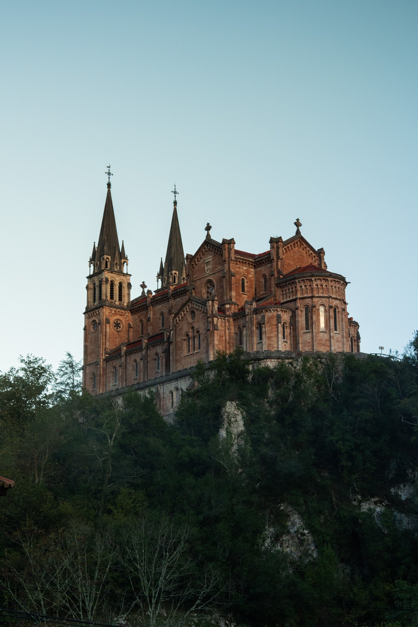
Before climbing we stopped at the Covadonga Sanctuary, which is on the way. At that hour the esplanade was almost empty. The Holy Cave, with the Virgin of Covadonga (La Santina) set into the rock and the waterfall tumbling right below, is worth the stop even if you're not into shrines. This is where, according to tradition, the story of Don Pelayo and the Kingdom of Asturias began. We didn't linger long, but the Sanctuary already looked incredible from a distance.
Our advice: visit the Sanctuary before the Lakes if you're driving, and after if you're taking the bus. The downhill bus stops in Covadonga, and the same ticket covers the shuttle back to the parking lot.
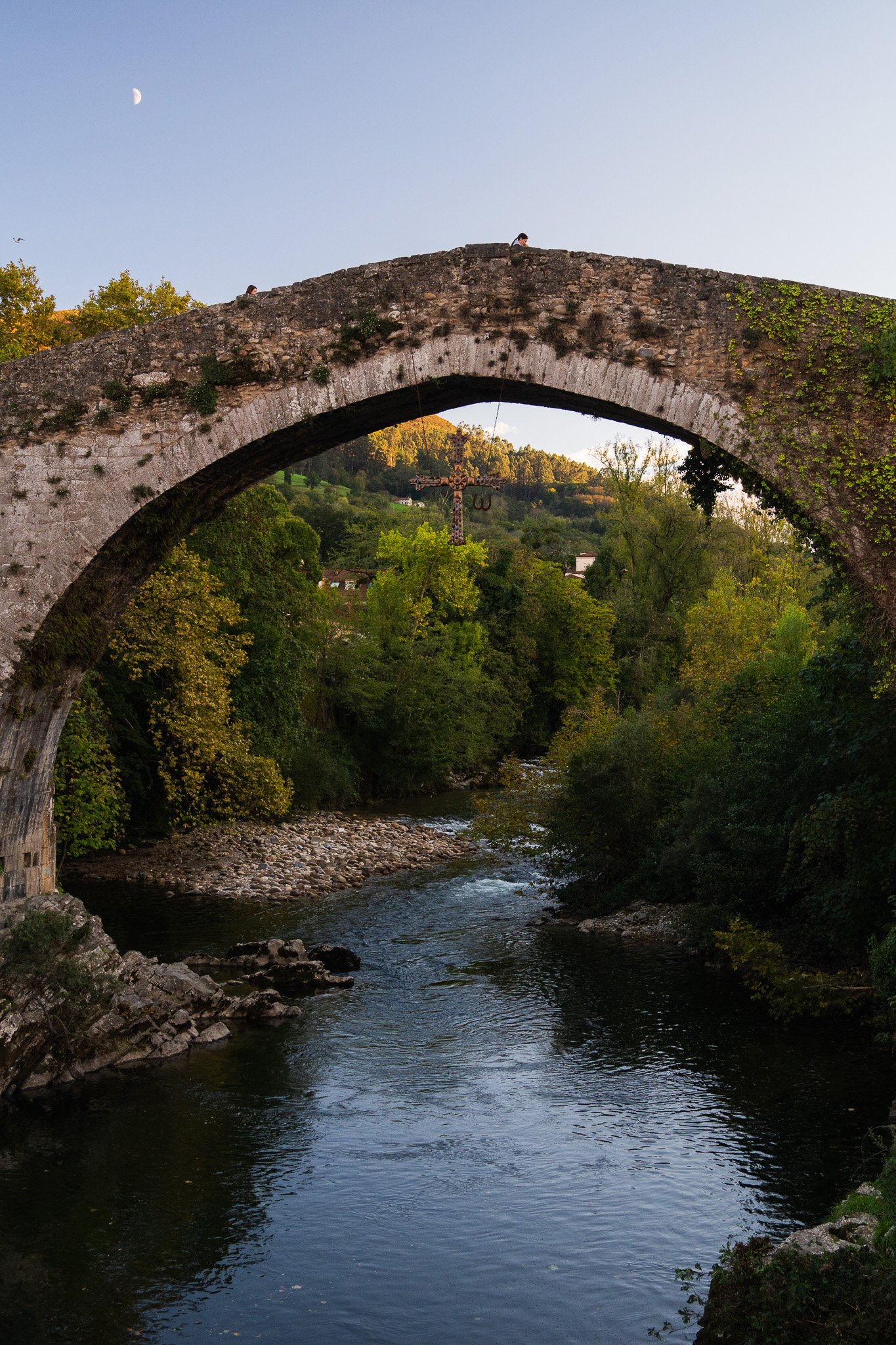
The drive up to the Lakes and the Mirador de la Reina
The road is narrow, with tight curves, drop-offs and cows that cross whenever they feel like it. It's also the legendary climb of La Vuelta, so it's normal to pass cyclists. Take it slowly and stay alert.
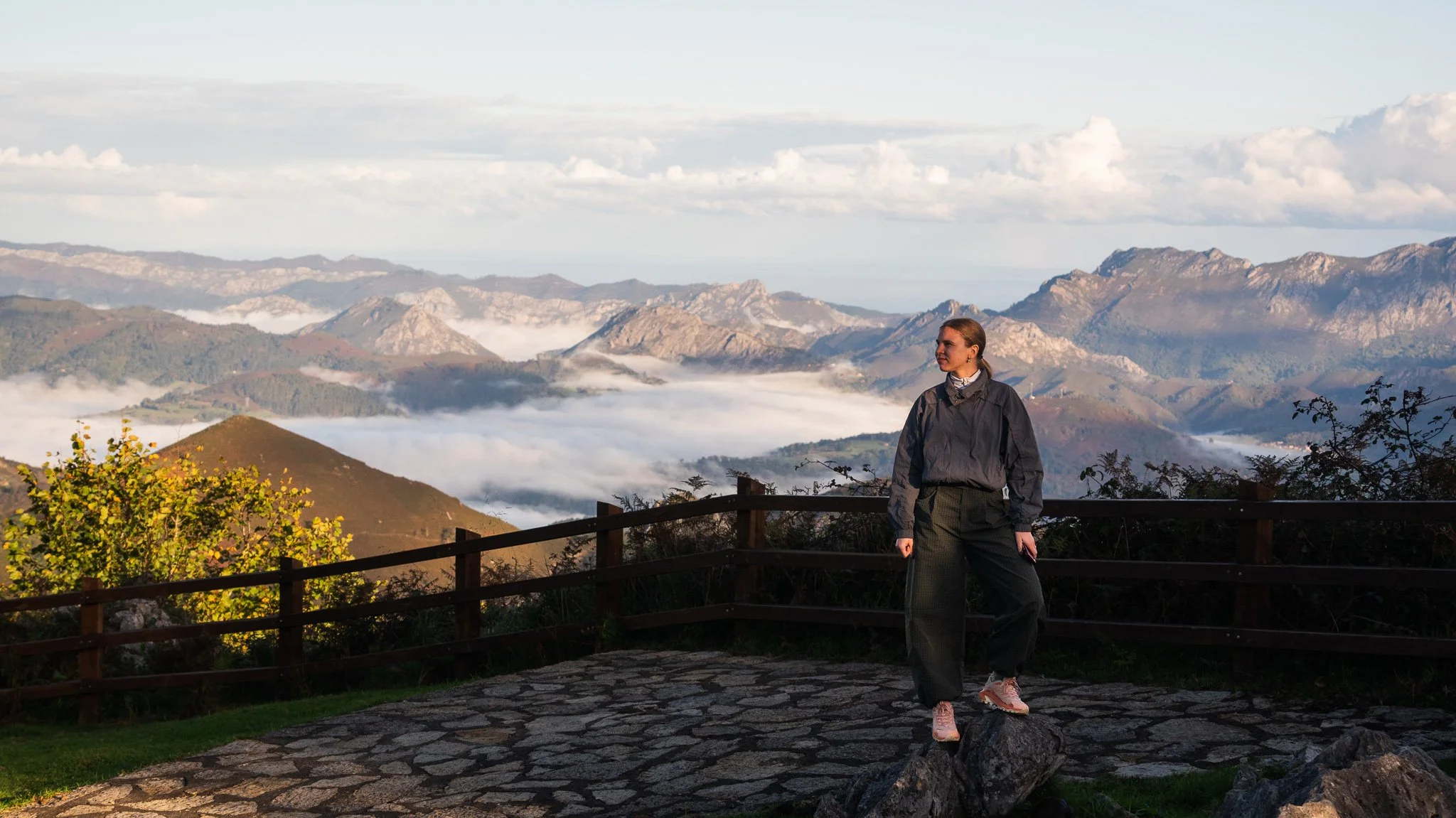
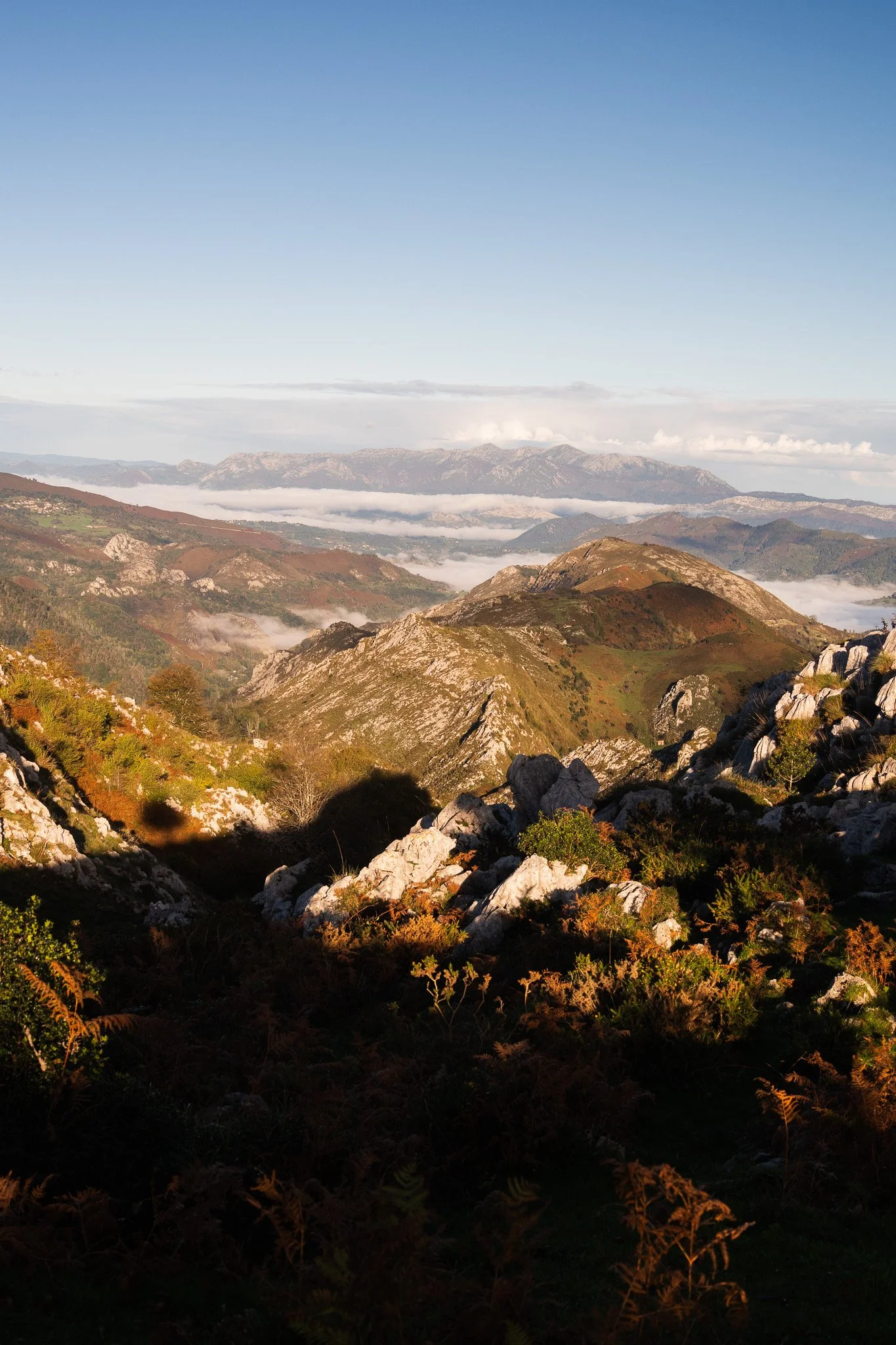
Halfway up is the Mirador de la Reina, one of the best viewpoints in the area. On a clear day you can see the mountains and, in the distance, all the way to the Cantabrian Sea. You have to stop either on the way up or on the way down; we recommend going up, because in the light of the new day there's a special view with the fog lifting between the mountains.
Since it was Monday and there were no restrictions, we drove up without a problem to the Buferrera parking lot, the big one where the hike starts. There's another one higher up, next to Lake Ercina, but on busy days it fills up sooner.
The Covadonga Lakes loop hike step by step
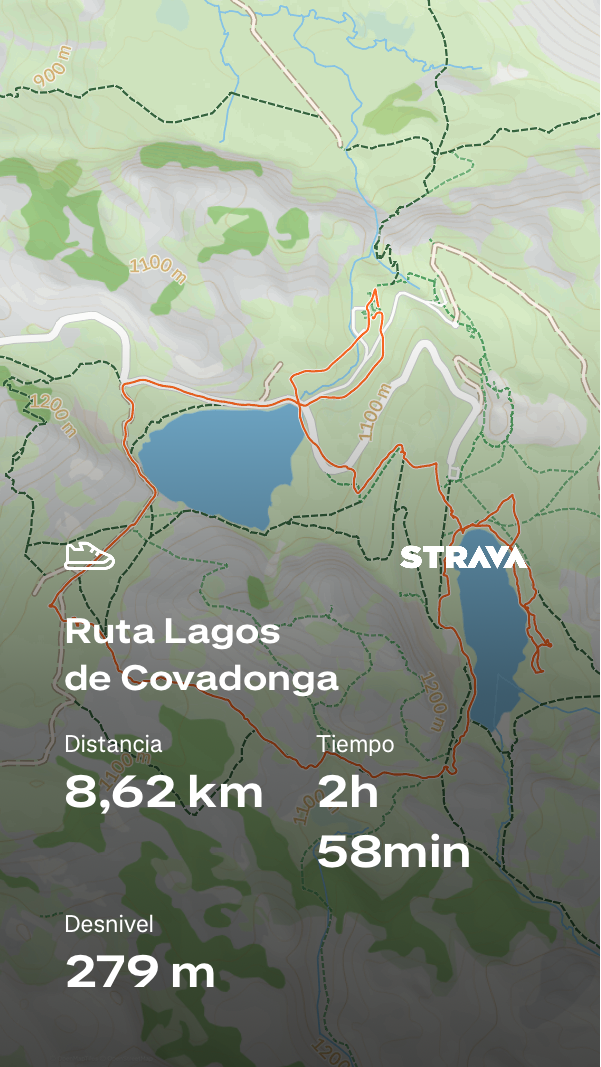
We did the Lakes loop hike, the PR-PNPE 2. It's about 6 kilometers with very little elevation gain and a well-marked trail with white and yellow signs. We took between two and three hours with stops for photos, and there were many. If you're short on time, there's a shorter version of about 3 kilometers that takes just over an hour.
Leaving the Buferrera parking lot we turned left, skirting Lake Enol, and went straight up to the Mirador de Entrelagos. It's the highest point on the route, at about 1,160 meters, and from up there you can see both lakes at once, one on each side. We stayed there a good while. With such great views we took photos like the ones we're sharing here, and we appreciated the landscape from afar, which is the best way to take in the lakes.
From there we went down to Lake Ercina and walked along its shore. We wandered and tried to go all the way around this lake, but it was full of mud. Some people did it, but we turned back and completed the route between the lakes.
From Ercina the trail loops around behind the mountain, passes through the Bricial meadow and enters the Palomberu beech forest. In October the beeches start to change color and the forest becomes stunning. The final stretch descends to the Vega de Enol, passes by the refuge and returns along the shore of Lake Enol to Buferrera.
In total, according to our Strava, 8.6 kilometers, about 280 meters of elevation gain and three hours of moving time (three and a half with stops). That's more than the official route, about 6 km, because we lingered along the shore of Ercina. If you're short on time, there's a shorter version of about 3 kilometers that takes just over an hour.
If you head right instead of left when you leave the parking lot, the route starts at the Pedro Pidal Visitor Center, the Mirador del Príncipe, with views over the Comeya meadow, and the old Buferrera Mines, where iron and manganese were extracted. Pedro Pidal was the marquis who pushed for the creation of Spain's first national park, the Montaña de Covadonga, in 1918. The center is free and open from 10:00 AM to 5:30 PM. We didn't stop there, but it's just a step from the parking lot.
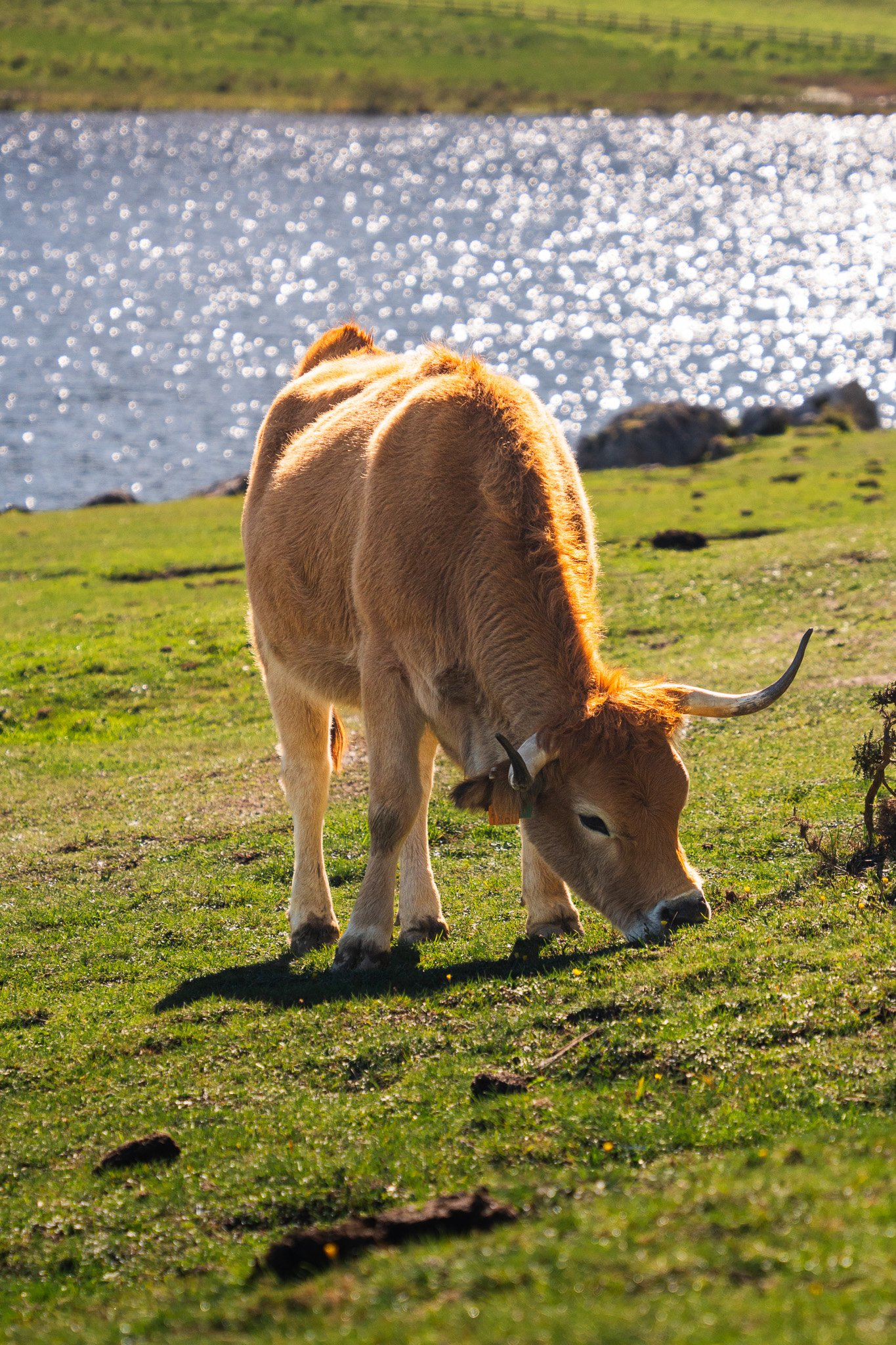
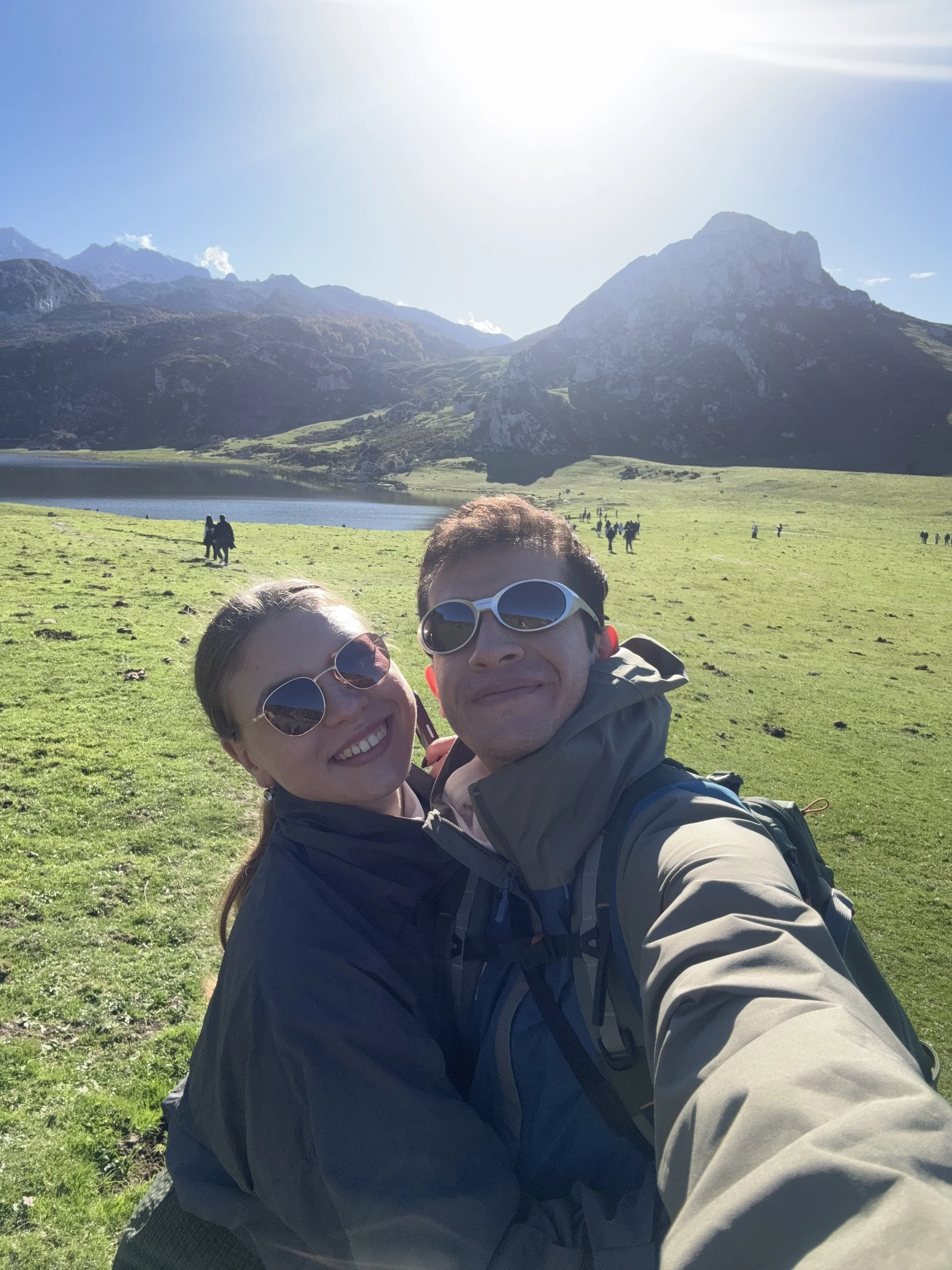
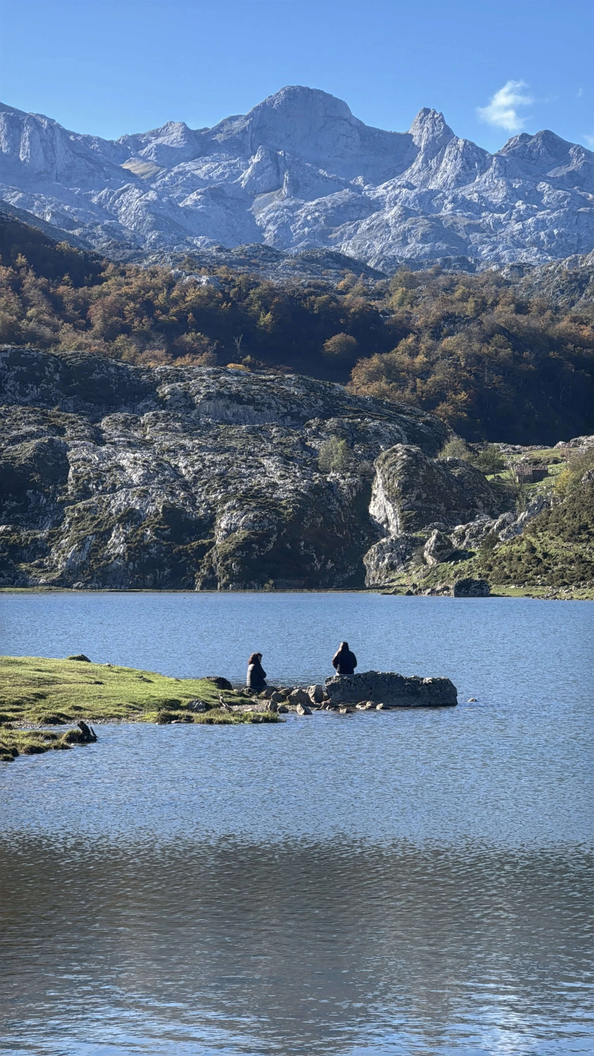
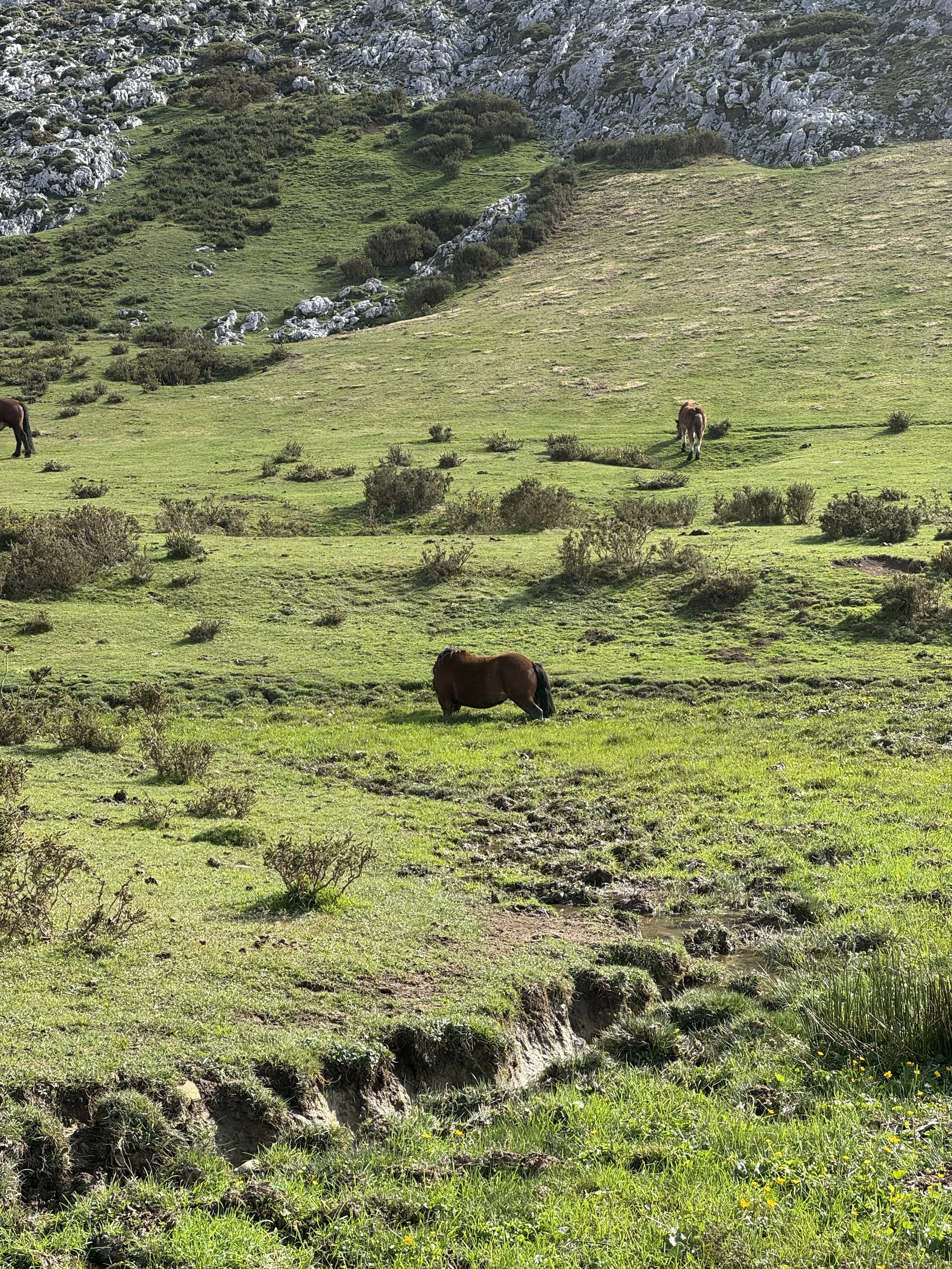
Lake Enol, Lake Ercina and the lake almost nobody sees
The Covadonga Lakes are two, or three if you count the shy one. Enol is the big one and the first you see as you climb: it sits at about 1,070 meters above sea level and reaches 25 meters deep. Beneath its waters lies a replica of the Virgin of Covadonga, which divers bring up in procession every September 8, Asturias Day, and then sink back down until the following year.
Ercina sits a bit higher, at about 1,108 meters, and is much shallower, barely a couple of meters deep. That's why its color changes so much with the light, and in winter it freezes easily. Behind it is the Peña Santa de Enol, the photo everyone takes home.
The third is the Bricial, which only holds water during snowmelt or heavy rain. The rest of the year it's a green meadow. This time we didn't detour to see it, because the midday sun was starting to beat down.
Where to eat at the Covadonga Lakes
Up top there isn't much choice. Next to Lake Enol is the Restaurante Merendero de los Lagos, with a covered terrace and views, and in the Vega de Enol the Casa de Pastores refuge, which also serves meals. Outside the season the hours get cut back quite a bit, so call ahead. Since we knew it was already off-season and that lots of people were coming up, we brought our own snacks to eat at our next destination.
The other option is to go down to Covadonga or Cangas de Onís, where there are more places and better prices. And if the weather is good, a sandwich sitting in the meadow with the lakes in front of you is hard to beat. Just remember to take your trash back down with you.
We ended up eating in Bulnes, which is the next story.
If you have the day to spare: Bulnes and other hikes
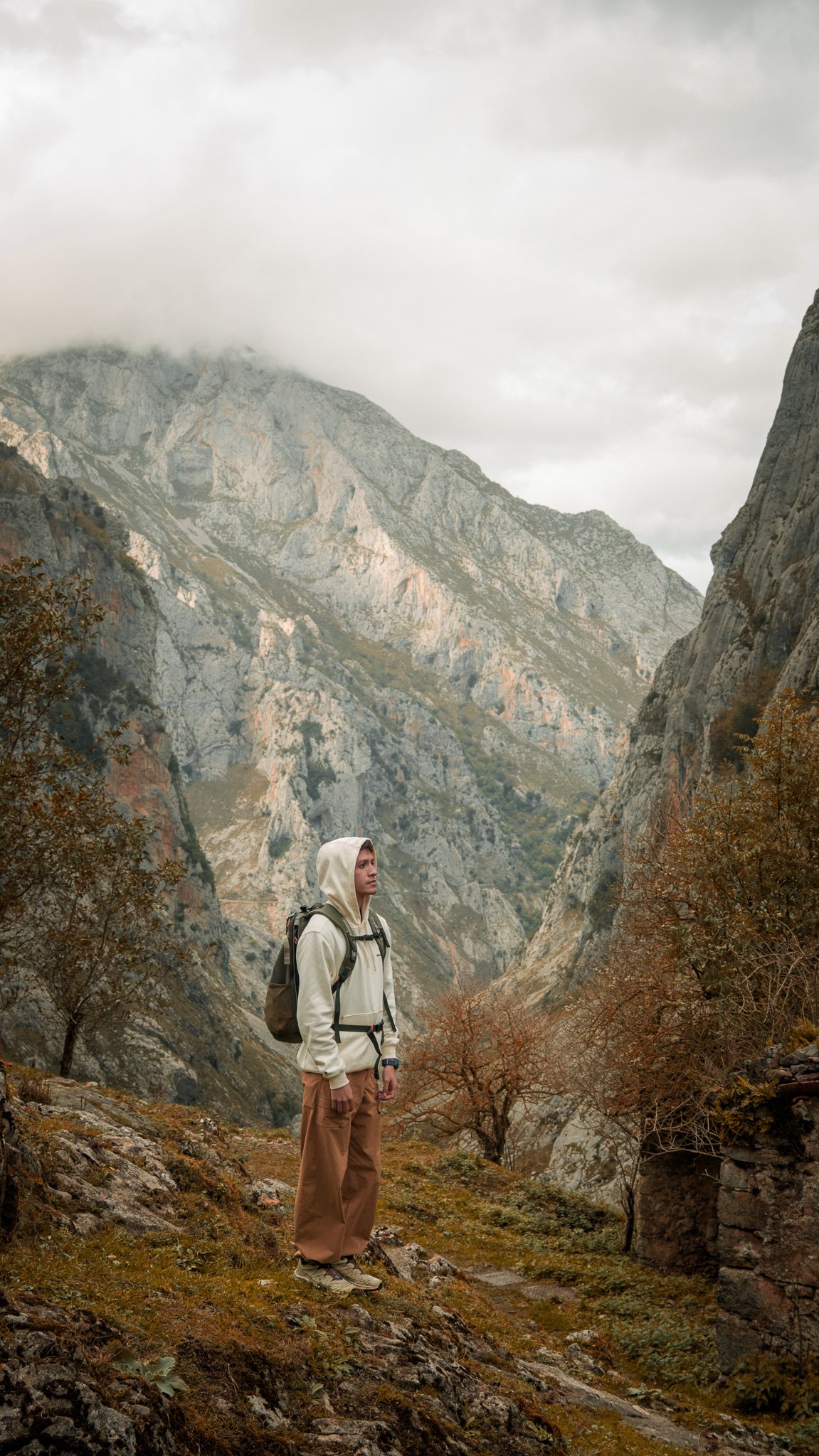
We finished the hike very happy with the views, so instead of staying in the area we headed toward Poncebos, a little under an hour's drive away, to go up to Bulnes. It was the best part of the whole trip, because of the surprise it gave us.
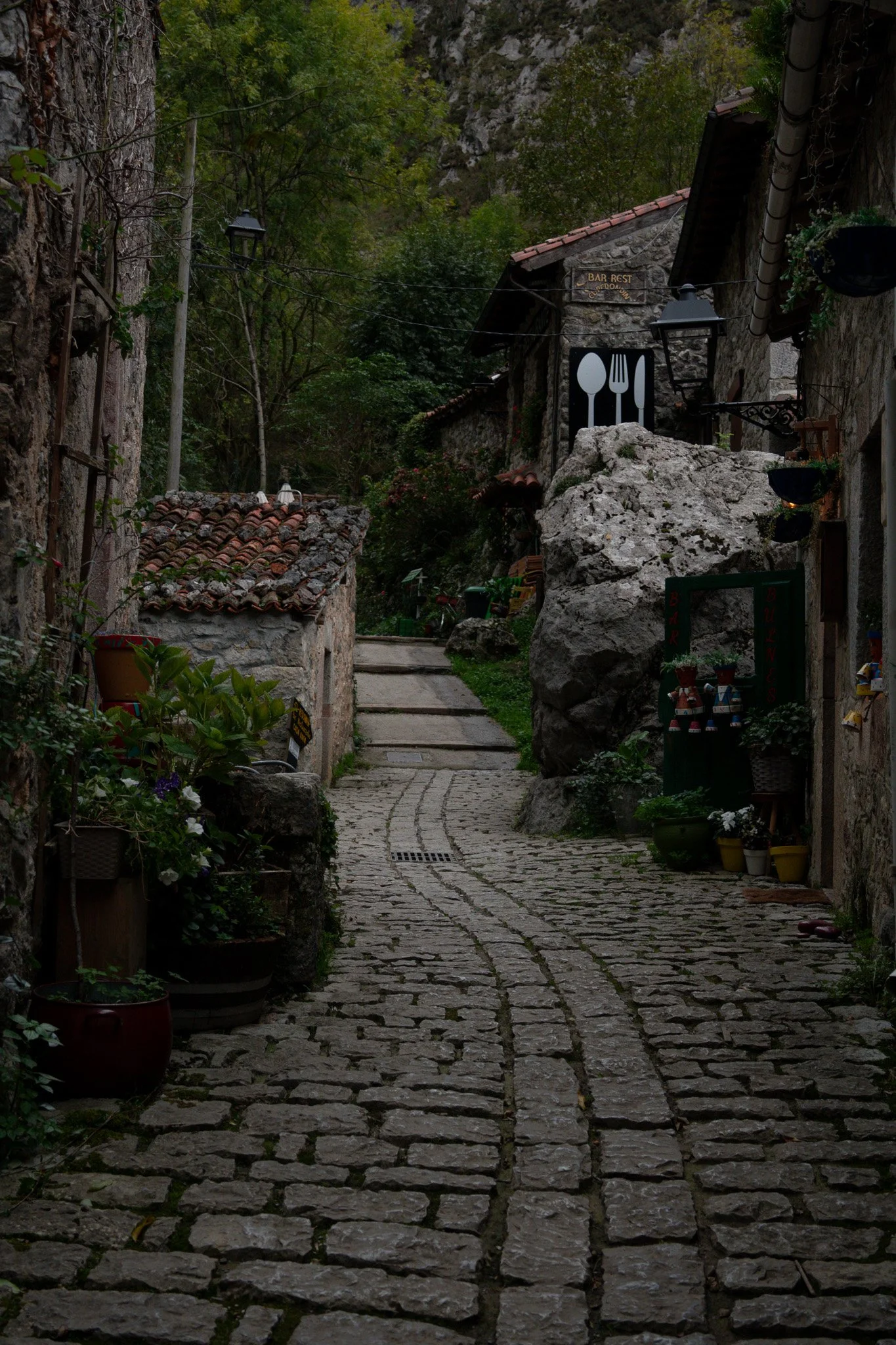
Bulnes is a village with no road access. You get there on foot along a trail of about 4 kilometers, or by a funicular that climbs inside the mountain, in operation since 2001. We talked with a man from the village who told us that about six people now live there year-round. We had a pote asturiano that we still remember.
Getting to know the most remote village in Spain was definitely something special.
👉 Book the Bulnes funicular on the Alsa website
If you'd rather stay at the Lakes and you're up for it, there are longer hikes that start right there. From Ercina you can take the Vega de Ario trail (PR-PNPE 4), about 7.6 kilometers one way, and from Enol the trail to the Mirador de Ordiales, which is a full day in the mountains. We left both of those for next time. Perfect excuse to come back.
Where to stay to visit the Lakes
The most convenient option is to stay in Cangas de Onís or between Cangas and Covadonga. That way you're 20 minutes from the start of the road and can head up early, when there are the fewest people and the least fog.
We stayed two nights at Les Xanes, rural apartments between Cangas de Onís and Covadonga. Little signal and lots of calm. Honestly, it was perfect for unplugging, having dinner, watching a movie and waking up to beautiful views of the peaks.
💡 Tips from Pedro and Karyna
📅 Check the calendar before booking anything
If you want to drive up, plan your trip around a day without restrictions. If that's not possible, buy your bus ticket in advance at buslagoscovadonga.es. We timed our Lakes day for a Monday for exactly this reason.
⏰ Go up early
Fewer cars, free parking and a better chance of seeing the lakes without fog. By mid-morning the clouds usually cling to the mountain.
🧥 Bring a jacket even if it's sunny below
Up there you're above 1,000 meters. Bring layers, a rain jacket and shoes with good grip: there are stretches of rock and mud after rain.
🌫️ Check the webcam before heading up
If you're in the area for several days, choose your Lakes day based on the weather. There are live webcams of the lakes, and they can save you a trip up to see nothing but fog.
🚗 Rental car
To get around this part of the Picos de Europa, a car is almost essential. We booked ours with the QEEQ app, which compares airport rental companies. Use our code [IMES8] for a discount.
🐄 Cows, cyclists and curves
The road is narrow and shared. Drive slowly, don't park on the bends, and let the cows pass first. They're in charge.
🍽️ Food and cash
Up top there are few places to eat, and they open limited hours outside the season. Bring some food and some cash just in case.
❓ Frequently asked questions
When can you drive up to the Lagos de Covadonga?
On days without restrictions. In 2026 it was banned from June 1 to October 18, during Semana Santa, several spring weekends and some autumn and winter long weekends. Check the official calendar for each year.
Where to park at the Lagos de Covadonga?
On days without restrictions, in the Buferrera car park next to Lake Enol, or the one at Lake Ercina. On regulated days, use the park-and-ride car parks between Cangas and Covadonga (€3 per day) and take the bus from there.
How much does it cost to visit the Lagos de Covadonga?
Entry to the park is free. The bus on regulated days costs €9 round trip for adults and €3.50 for children aged 4 to 11.
How many Lagos de Covadonga are there?
Two main ones, Enol and Ercina, and a third one, Bricial, which only has water when snow melts or after heavy rain.
How high are the Lagos de Covadonga?
Lake Enol sits at about 1,070 meters and Lake Ercina at about 1,108 meters above sea level.
Where to eat at the Lagos de Covadonga?
Up top, at the Restaurante Merendero de los Lagos or the refuge at Vega de Enol. For more options, head down to Covadonga or Cangas de Onís.
Where to stay to visit the Lagos de Covadonga?
In Cangas de Onís or between Cangas and Covadonga. We stayed in Les Xanes and had the Lagos road right on our doorstep.
Have you been up to the Lagos de Covadonga? Did you get sun or fog? Tell us in the comments 👇
